

1
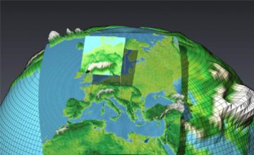
This course provides a quantitative introduction to the Global Climate system and Climate modeling, which attempts to understand and predict climate c.......
2
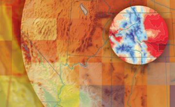
The course includes introduction to climate downscaling and its importance. The course describes “Regional climate Modelling” with emphasis on “.......
3
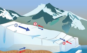
The course provides a detailed overview of glacier dynamics, ice flows, calving and glacier instabilities. The course explains in detail the physical .......
4
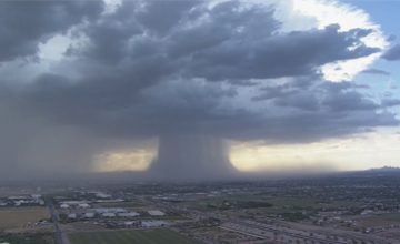
The course introduces basic concepts and features of Monsoon, SW and NE monsoons over India; monsoon trough, onset and advance of monsoon, synoptic fe.......
5
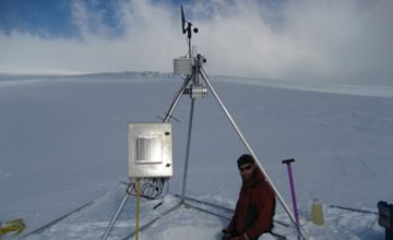
This course provides an overview of basic radiation laws including black body radiation. Interaction of solar radiations with atmosphere, snow and ice.......
6
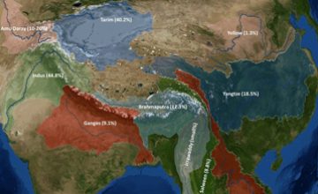
The course contents include water balance in a glaciered catchment; water storage changes, water balance of a glacier. Runoff and its variability, con.......
7
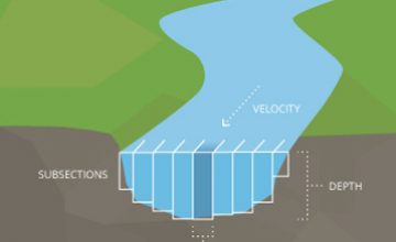
The course exposes the students to different methods of discharge measurements in mountain environment. Water level measurements, Area-Velocity measur.......
8
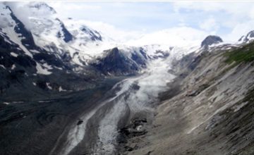
The course provides a descriptive account of remote sensing of glacier mapping and monitoring: mapping glacier extents and snowline. Overview of globa.......
9
The course provides a basic understanding of glacier mass budget, glacier mass balance gradient and glacier mass balance profile. The course describes.......
10
The course describes different glacier volume estimating approaches including: GPR and Volume-Area scaling. The course discusses in detail various gla.......
11
This course describe basic concepts in snow melt modeling: Snow types, vapor pressure, snow density, water equivalent and snow/ice albedo and snow/ice.......
12
The course introduces tracer approaches in hydrological investigations. The course provides a detailed account of stable and unstable environmental is.......
13

This course provides a systematic review of glacial processes and landforms with an emphasis on topics that are central to understanding of how glacie.......
14
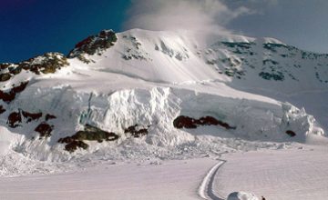
The course gives a general idea of natural hazards in mountainous areas, risk, vulnerability, hazard and exposure with examples from the Alps and the .......
15
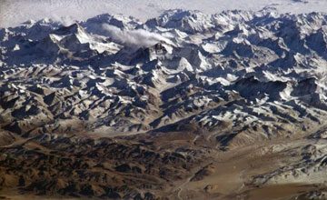
The course provides an overview of the climate change impacts; GLOFs, landslides, snow avalanches, floods, debris flows, heat and cold wave and drough.......
16
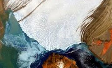
The course introduces basic concepts in glacier hazard and related terminology and special characteristics of glacier hazards. Glacier length and mass.......
17
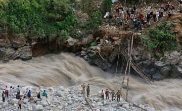
The course introduces basic concepts and theoretical framework for disaster risk reduction. A detailed account of GLOF disaster risk reduction methodo.......
18
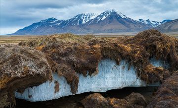
The course begins with introduction to permafrost and related terminology. It then describes the global and local importance of permafrost. A detailed.......
19
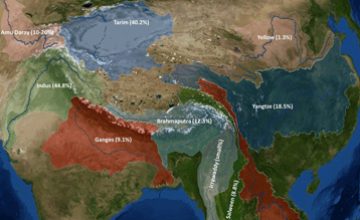
The course gives an introduction to landform dating and dendrochronology. The course explains in detail the application fields of dendrochronology and.......
This course provides a quantitative introduction to the Global Climate system and Climate modeling, which attempts to understand and predict climate changes. It briefly describes the physical process in Climate system, IPCC and CMIP5 climate projections. It also provides exposition of climate scenarios and their uncertainties, besides providing deep insights into cryosphere-climate interactions. The monsoon phenomenon is used as a primary example of natural climate variation for which predictions with climate models are now possible. Regional climate change projections over South Asia are also a highlight of the course. The course also provides hands-on post processing and visualization of climate model data.
The course includes introduction to climate downscaling and its importance. The course describes “Regional climate Modelling” with emphasis on “Coordinated Regional Climate Downscaling Experiment (CORDEX)” initiative. Downscaling approaches together with the representation of glaciers in Regional climate models is also the focus of the course.
The course provides a detailed overview of glacier dynamics, ice flows, calving and glacier instabilities. The course explains in detail the physical basis of ice flow at the base, basal boundary conditions and detailed description modelling of glacier and ice sheet flow.
The course introduces basic concepts and features of Monsoon, SW and NE monsoons over India; monsoon trough, onset and advance of monsoon, synoptic features associated with onset, break active and weak monsoons and their prediction. The course also describes components of SW Monsson including: Tibetan anti-cyclone, off-shore vortices and trough, low level jet, Mascarene high, monsoon depression, mid-tropospheric cyclone. Prediction of Indian monsoons is also the focus of the course.
This course provides an overview of basic radiation laws including black body radiation. Interaction of solar radiations with atmosphere, snow and ice is given special emphasis in the course. This provides a detailed account of measurement of energy balance components on snow and ice viz-a-viz parameterization of these components. The course also provides typical values and relative importance of energy balance components for modelling energy balance over snow and ice.
The course contents include water balance in a glaciered catchment; water storage changes, water balance of a glacier. Runoff and its variability, contribution of glacier and snow melt to stream flow with special emphasis on the Himalayas. The course also highlights the impacts of climate change on water resources with examples from Asia and the Alps.
The course exposes the students to different methods of discharge measurements in mountain environment. Water level measurements, Area-Velocity measurements and the tracer method for discharge measurement is the focus of the course with examples from the Alps. The course also provides a brief account of instrumentation needed for discharge measurements in mountain environment.
The course provides a descriptive account of remote sensing of glacier mapping and monitoring: mapping glacier extents and snowline. Overview of global glacier monitoring initiatives such as GTN-G observing strategies, GLIMS and WGI is also given. The courses focus on glacier inventorying, and possibilities and challenges of remote sensing. The course provides the students with hands-on mapping of selected Himalayan glaciers on satellite images to explore the strengths and limitations of remote sensing of glaciers.
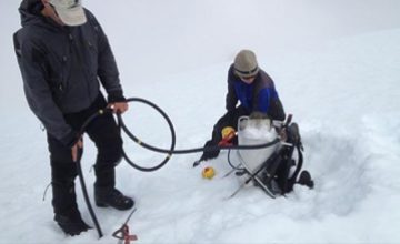
The course provides a basic understanding of glacier mass budget, glacier mass balance gradient and glacier mass balance profile. The course describes in detail the different glacier mass balance methods including: Direct/Glaciological method, Geodetic, Hydrological and AAR based method, limitations and strengths. The course also gives an overview of glacier mass balance modelling approaches: Temperature Index modelling, energy balance modelling and linear mass balance modelling.
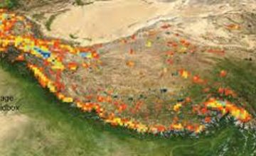
The course describes different glacier volume estimating approaches including: GPR and Volume-Area scaling. The course discusses in detail various glacier thickness measuring and modelling approaches including: Drilling a bore hole, Seismic measurements, Geoelectric techniques and Radio-echo sounding (Radar). The course also gives a detailed account of V-A scaling and parameterization required for various glacier process. Hands-on estimation of glacier volume over the Himalayas using different glacier volume estimation methods is also provided in the course.
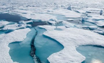
This course describe basic concepts in snow melt modeling: Snow types, vapor pressure, snow density, water equivalent and snow/ice albedo and snow/ice density. A brief account of instrumentation for snow water equivalent measurements and measurement of SWE in a watershed is also given in the course. Snow melt and runoff modeling approaches including: Temperature-Index Model and Energy balance are focus of the course with examples from the Himalayas.
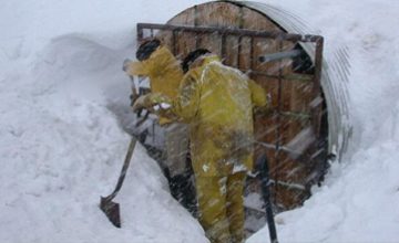
The course introduces tracer approaches in hydrological investigations. The course provides a detailed account of stable and unstable environmental isotopes and their applications. The course also describes isotope effects observed in precipitation (fractionation) including temperature effect, latitude effect, continental effect, and altitude and seasonal effect. Besides global and local meteoric water line, hydrograph separation using isotopic technique with examples from the Himalayas are the focus of the course.
This course provides a systematic review of glacial processes and landforms with an emphasis on topics that are central to understanding of how glaciers operate as geomorphic agents. The course reviews the processes responsible for sediment erosion, transport and deposition as well as the erosional and depositional landforms. The characteristics of these landforms are reviewed using a variety of examples, including illustrations from both the Himalayas and the Alps. The geological record of glacial fluctuations is described with focus on the latter portion of the Quaternary.
The course gives a general idea of natural hazards in mountainous areas, risk, vulnerability, hazard and exposure with examples from the Alps and the Himalayas. In addition, the course describes mass movement types, characterization, and processes including rock fall, rock sliding, landslides and debris flow. The course also describes the causes, sources, transportation, and deposition of mass movements with examples from the Alps and the Himalayas. Flood types, parameters, triggering, and characteristics are dealt in detail in the course. Floods, process, types, and triggering are also the focus of the course. The course provides a hands-on mapping of natural hazards in mountainous areas and modeling flood events.
The course provides an overview of the climate change impacts; GLOFs, landslides, snow avalanches, floods, debris flows, heat and cold wave and droughts. The course also outlines climate change impacts on flood frequency, food security and crop yield. Risks and adaption measures are also the focus of the course. It also provides a deep understanding of integrated impact assessments in mountainous regions with case studies from the Himalayas.
The course introduces basic concepts in glacier hazard and related terminology and special characteristics of glacier hazards. Glacier length and mass changes, ice avalanches and surging glaciers viz-a-viz glacier lakes and GLOFs are described in detail. Glacier hazard mapping and modeling moraine dam breach are the focus of the course. The course provides detailed account of procedure for hazard assessment with hands-on hazard assessment of selected glacier lakes in the Himalayas.
The course introduces basic concepts and theoretical framework for disaster risk reduction. A detailed account of GLOF disaster risk reduction methodology with examples from the Alps and the Himalayas is given in the course. The course also introduces early warning systems for disaster risk reduction with emphasis on GLOFs.
The course begins with introduction to permafrost and related terminology. It then describes the global and local importance of permafrost. A detailed explanation of permafrost detection, mapping, monitoring and modeling its distribution is provided in the course. It also gives an overview of rock glaciers and deep understanding of permafrost and rock fall linkages. Status of permafrost in the Himalayas is also the focus of the course. The course concludes with hands-on permafrost mapping over parts of the Himalayas.
The course gives an introduction to landform dating and dendrochronology. The course explains in detail the application fields of dendrochronology and reconstruction of natural process using tree rings. The methodologies used in dendro-geomorphology are the focus of the course. The course provides hands- on use of tree ring information for dating past events. The course also provides a detailed account of ice core for dating and reconstruction of past events and climate.
