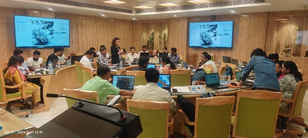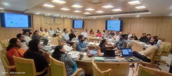


SDC organised an advanced 5-day hands-on training program (8-12 April 24) on application of Synthetic Aperture Radar (SAR) data for natural hazard and risk mapping as part of disaster management. The training was organized in collaboration with the National Disaster Management Authority (NDMA) and SARMAP, Switzerland under the SCA-Himalayas project of SDC. It focussed on SAR data analysis, and its applications for various disasters like earthquakes, landslides, land deformation, subsidence, and glacial lake outburst floods (GLOFs). In context of the escalating frequency and intensity of natural disasters due to climate change, leveraging remote sensing data has emerged as a crucial tool for early warning and emergency response efforts. The recent GLOF in Sikkim (October 2023), has put further emphasis on strengthened capacities within national institutions in using SAR data for slope stability as well as deformation analysis. 30 participants including the officers of NDMA and representatives from the potential risk prone states such as Jammu and Kashmir, Uttarakhand, Maharashtra, Nagaland, Tamil Nadu, Gujarat, Assam, and Sikkim attended the training. These states were identified based on their exposure to landslides, land subsidence, earthquakes, land deformation and GLOFs. During the Inaugural session, Mr. Kamal Kishore, Member Secretary and Head of Department of NDMA highlighted the need for improving the capacities of potential users, and acknowledged the long term collaboration between NDMA and SDC.. Dr. Krishna Vatsa, Member, NDMA encouraged active participation from the participants by highlighting the potential uses of SAR data in hazard assessment. Mr. Safi Ahsan Rizvi, Advisor-Mitigation at NDMA urged further dissemination of this knowledge and technology in the states through the participants for improved risk management. From SDC, Ms. Divya Kashyap, Deputy Head of Cooperation also highlighted the importance of this initiative in risk reduction, based on the recent events of land subsidence in Joshimath and GLOF in South Lhonak. The training was conducted by two experts from SARMAP, Switzerland and included intensive sessions on theoretical aspects, hands-on exercises and discussions. The five-day training program provided participants with the necessary knowledge and skills to tackle the challenges posed by natural hazards in the Himalayas and covered practical sessions on SAR data analysis, and cutting-edge techniques like SAR Interferometry (InSAR). Detailed case studies of land subsidence at Joshimath and GLOF event at South Lhonak lake were explained with real data analysis. During the feedback sessions, all the participants expressed satisfaction for the learning experience, while acknowledging that it may take some time to integrate use of such advanced technology in their routine work. The participants also did an exercise provided by the trainers for testing the skills and knowledge acquired during the training. This training program under SCA-Himalayas project has been an initiative to strengthen remote sensing based capacities for disaster risk management in India, particularly the Indian Himalayan Region.


